
|
|
||
|
||
|
|
||
|
||
|
|
 It's
all part of the Earth Observing System Education Project, at
the University of Montana in Missoula, which is home to a
National Lewis and Clark Education Center. In preparation
for the historic expedition's bicentennial celebration,
which begins next year, programs like the EOSEP are
gathering data and comparing them to what Lewis and Clark
recorded. The goal: to see what's changed and by how
much.
It's
all part of the Earth Observing System Education Project, at
the University of Montana in Missoula, which is home to a
National Lewis and Clark Education Center. In preparation
for the historic expedition's bicentennial celebration,
which begins next year, programs like the EOSEP are
gathering data and comparing them to what Lewis and Clark
recorded. The goal: to see what's changed and by how
much.
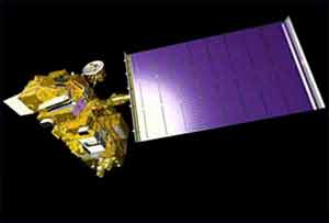
This time, however, modern technology is doing in months what it took the Corps of Discovery years to accomplish. Aided by the Global Positioning System, Terra and Landsat satellites are snapping pictures and transmitting data all the time, and scientists and historians hope to have animaled fly-throughs available soon.
Some progress has already been made. For instance, some areas haven't changed all that much, according to project scientists. In other areas, on the other hand, cities have grown and with them, highways, pollution, and other byproducts of population growth.
It's all in the interest of geography, history, and ecology, and it's happening right now, high above our heads.
Graphics courtesy of Space.com
|
Search This Site

Custom Search
|
Social Studies for Kids
copyright 2002–2026
David White